
Mapping
Precision Agricultural Mapping
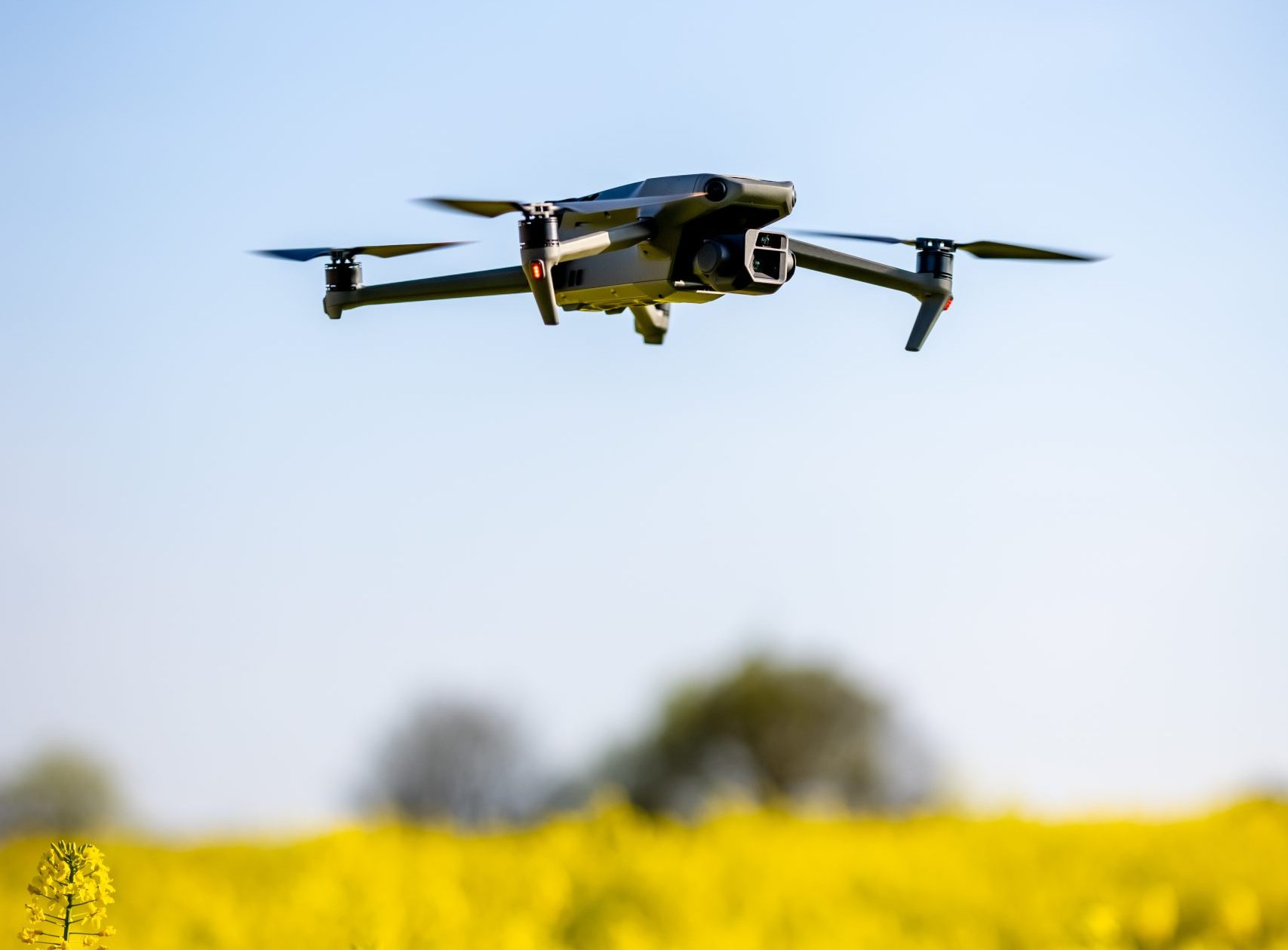
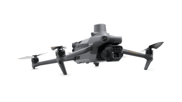
At Agri Aero Solutions, we combine cutting-edge drone technology with agricultural expertise to deliver accurate, actionable mapping data that transforms the way you manage your land. Using the advanced DJI Mavic 3 Multispectral, we provide high-resolution aerial maps and multispectral insights that empower farmers and agronomists to make smarter, data-driven decisions.
Our Mapping Service Includes:
- High-Resolution Field Mapping Capture detailed orthomosaic maps of your fields for an up-to-date, bird’s-eye view of your entire farm. Identify issues, plan interventions, and monitor changes over time with centimeter-level accuracy.
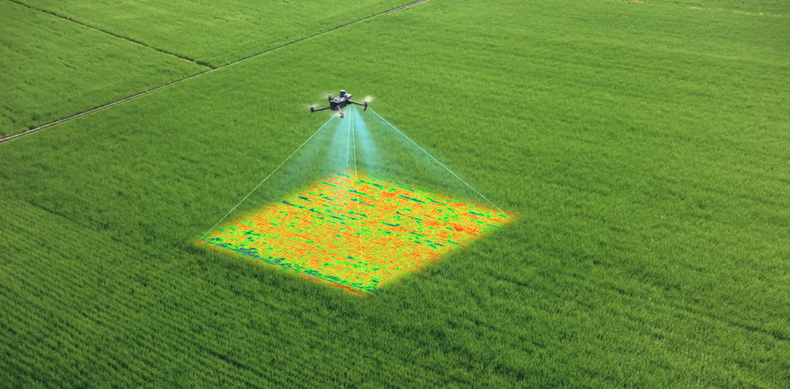
- Multispectral Imaging for Crop Health AnalysisOur DJI Mavic 3 Multispectral drone captures data across multiple light spectrums (including near-infrared) to reveal crop stress, nutrient deficiencies, irrigation issues, and pest or disease hotspots—often before they’re visible to the naked eye.
- NDVI and Vegetation Index Maps Generate NDVI (Normalized Difference Vegetation Index) and other vegetation index maps to assess plant vigor, optimize input use, and plan targeted treatments. This means healthier crops and maximized yields with reduced input costs.
- Elevation & Contour Mapping Our mapping service can also generate digital elevation models and contour maps. These are invaluable for drainage planning, erosion control, and designing precision irrigation systems.
- Actionable Reports & Recommendations It’s not just about collecting data—it’s about making it work for you. We turn complex imagery into clear, easy-to-understand reports and practical recommendations you can act on immediately.
How It Works
- Consultation — We meet with you to understand your field’s unique challenges and your goals.
- Flight & Data Capture — Our licensed drone operators fly your fields with the DJI Mavic 3 Multispectral.
- Processing & Analysis — We process the data using industry-leading software to deliver high-quality maps and insights.
- Delivery & Support — We provide digital reports, and if needed, guide you through interpreting and implementing the results.